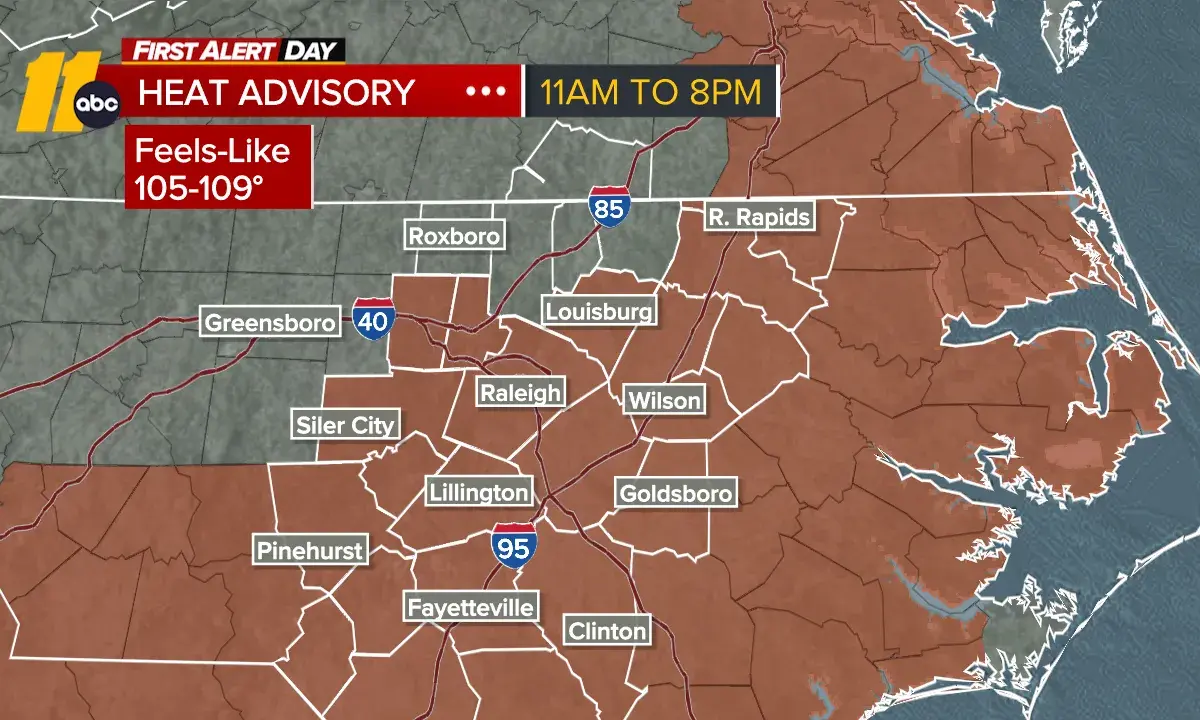
Another hot and sunny day is ahead, with a Heat Advisory in effect Friday afternoon and evening. Heat index values will climb into the 105 to 109 range, so be sure to take breaks if you're spending time outdoors.
There is also a chance for a few strong storms late this afternoon and early this evening, mainly moving in from Virginia. Storm coverage will remain on the lower side, around 30% to 40%, meaning many areas could stay dry while others pick up a brief downpour or gusty winds.
Saturday will bring another round of intense heat, with highs reaching the mid-to-upper 90s. Additional Heat Advisories may be needed for parts of the viewing area. A cold front approaching from the north late in the day will increase the threat for strong thunderstorms.
The Storm Prediction Center has much of the area under a Level 2 out of 5 risk for severe weather, including the potential for damaging winds and large hail.
The front settles south of the area on Sunday, bringing a few spotty showers and noticeably cooler temperatures. Afternoon highs will be in the low to mid 80s.
Labor Day is shaping up nicely, with lower humidity and comfortable temperatures. The best weather of the week arrives Tuesday, when highs stay in the mid-80s, and dew points drop into the 50s, making it feel much less humid.
Enjoy it while it lasts, because summer-like heat begins to return by Thursday, with feels-like temperatures approaching 100 once again.