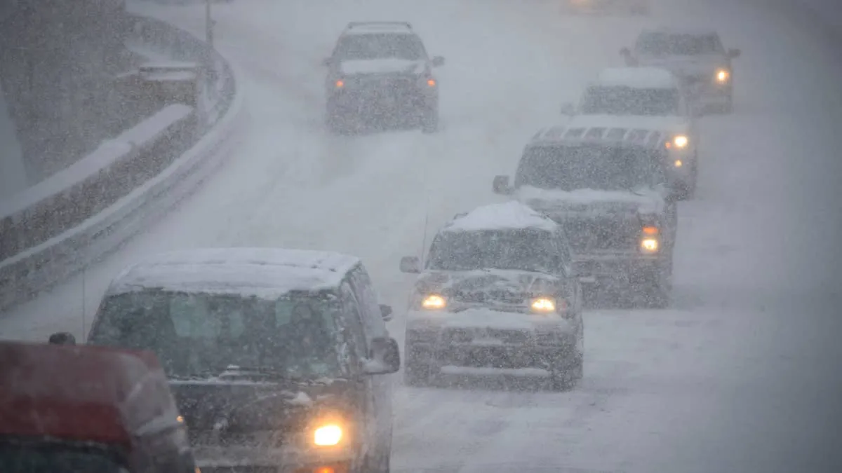
The National Weather Service advisory covers 57 miles of the Richardson Highway, and the heaviest snow is forecast for the Monday morning drive.
This Million-Dollar Pagani Huayra Has 62,000 Miles and Isn’t Done Yet
One Of Mercedes-Maybach’s Rarest SUVs Has Surfaced With Just 124 Miles
Lexus NX Update Is Finally Official, Full Reveal Is Days Away
Audi CEO Explains Why the $700,000 Nuvolari Still Has a V8
NWS Fairbanks issued a winter weather advisory at 8:22 a.m. ET Sunday for the eastern Alaska Range, forecasting 5 to 8 inches of snow across higher elevations of the Richardson Highway north of Isabel Pass, with heavier amounts above pass level and winds gusting as high as 40 mph. It takes effect at 4 a.m. ET Monday and runs to 8 a.m. ET Tuesday, which leaves Sunday clear and puts the whole event on Monday’s driving.
The sequence matters more than the total. NWS has rain transitioning quickly to snow overnight, with the heaviest snowfall expected Monday morning, and snow levels dropping as low as 2,000 feet. The office states the impact plainly: “Travel could be difficult.” Areas of blowing snow could significantly reduce visibility.
It is the only winter weather advisory in effect anywhere in the country.
Two zones, split either side of Trims Camp: the eastern Alaska Range north of it and the eastern Alaska Range south of it. On the ground that means the Richardson Highway from Milepost 202 to Milepost 259, a continuous 57-mile stretch taking in Trims Camp, Black Rapids and Donnelly Dome.
Isabel Pass is the reference point NWS uses for the snowfall figures, which apply north of it. The 5 to 8 inches is what the office expects across the higher elevations of the road itself. Above pass level the amounts run higher, though the advisory does not attach a number to how much higher.
Rain arrives first. That puts water on the road before any snow reaches it, and it does so overnight rather than in the afternoon, so the surface is losing heat through the whole transition rather than holding it. By the time the heaviest snowfall arrives Monday morning, the pavement has had the coldest hours of the day to cool and a layer of water sitting on it the entire time.
The snow level is the second half of that. At 2,000 feet the accumulation is not confined to the terrain above the road. It reaches the road.
The exterior temperature figure on the dash comes from a sensor mounted low at the front of the car, in the airflow ahead of the radiator. It measures air. The surface that determines whether the car stops is the pavement, and the two are not the same number.
They diverge in both directions on a single drive. Asphalt that spent Sunday afternoon in the sun holds heat well after dark. The same asphalt on a shaded north-facing approach can already be colder than the air above it. Most vehicles chime an ice warning somewhere around 37 degrees, and that alert is triggered by the air reading alone, which means it comes on based on conditions the tires are not touching.
Tire compound is what closes the gap. Winter rubber stays pliable below about 45 degrees where an all-season starts to harden, and on a thin wet layer the compound and the tread depth are doing the work. All-wheel drive is not: it distributes torque during acceleration and has no involvement in braking or lateral grip. Cold air pressure is worth a look too, since a tire loses roughly 1 to 2 psi for every 10 degrees the temperature drops, and a set checked in July is running low this week with nothing visibly wrong.