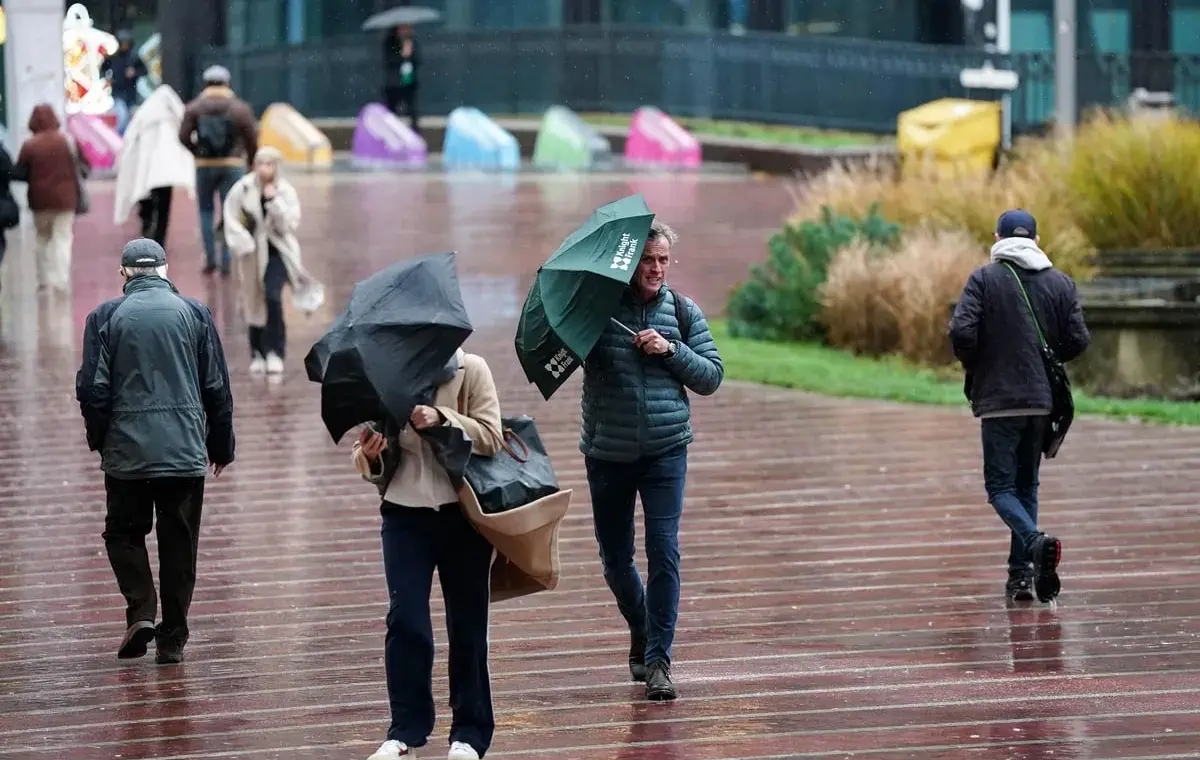
Flooding has hit part of the West Midlands as thunderstorms are forecast across large parts of England and Wales.
Two yellow thunderstorm warnings have been declared for Thursday – one covering London and the South East until 8am on Thursday and the other for Wales and much of England from 5am until 10pm.
West Midlands Fire Service confirmed it had been called out to “significant flooding” in Birmingham after a flood warning was issued for the Perry Barr area on Wednesday night due to rising river levels.
“Crews are being supported by West Midlands Police and Birmingham City Council. Please avoid the area, where possible,” the service said in a post on X.
Birmingham City Council advised people to “take care and avoid walking, cycling or driving through flood water”.
The fire service said it was responding to incidents around Curbar Road, Thornbridge Avenue and Haddon Road.
The Environment Agency has issued 22 flooding alerts – meaning flooding is possible – in the Midlands and South East.
Some areas could see between 50-75mm of rainfall on Thursday, along with lightning and hail, which could cause some disruption, along with warm temperatures with highs of 27 or 28C, the Met Office said.
The South East warning area could see 30-40mm of rainfall and “fairly large hail between 1-2cm”, while the bigger warning area could have more than 75mm of rain through 12 hours in parts, Met Office forecaster Craig Snell said.
Temperatures will drop closer to average for the time of the year over the weekend, with highs of 24 or 25C on Friday, then 22 or 23C until Monday.
Mr Snell said of Thursday: “We’re watching the risk of some heavy rain and thunderstorms moving up from the south.
Warnings for thunderstorms before mix of rain and sunshine over weekend
House hunting picks up across UK after summer slowdown – Zoopla
Double murderer John Sweeney dies in prison
Art After Dark is back with an exciting calendar of cultural events