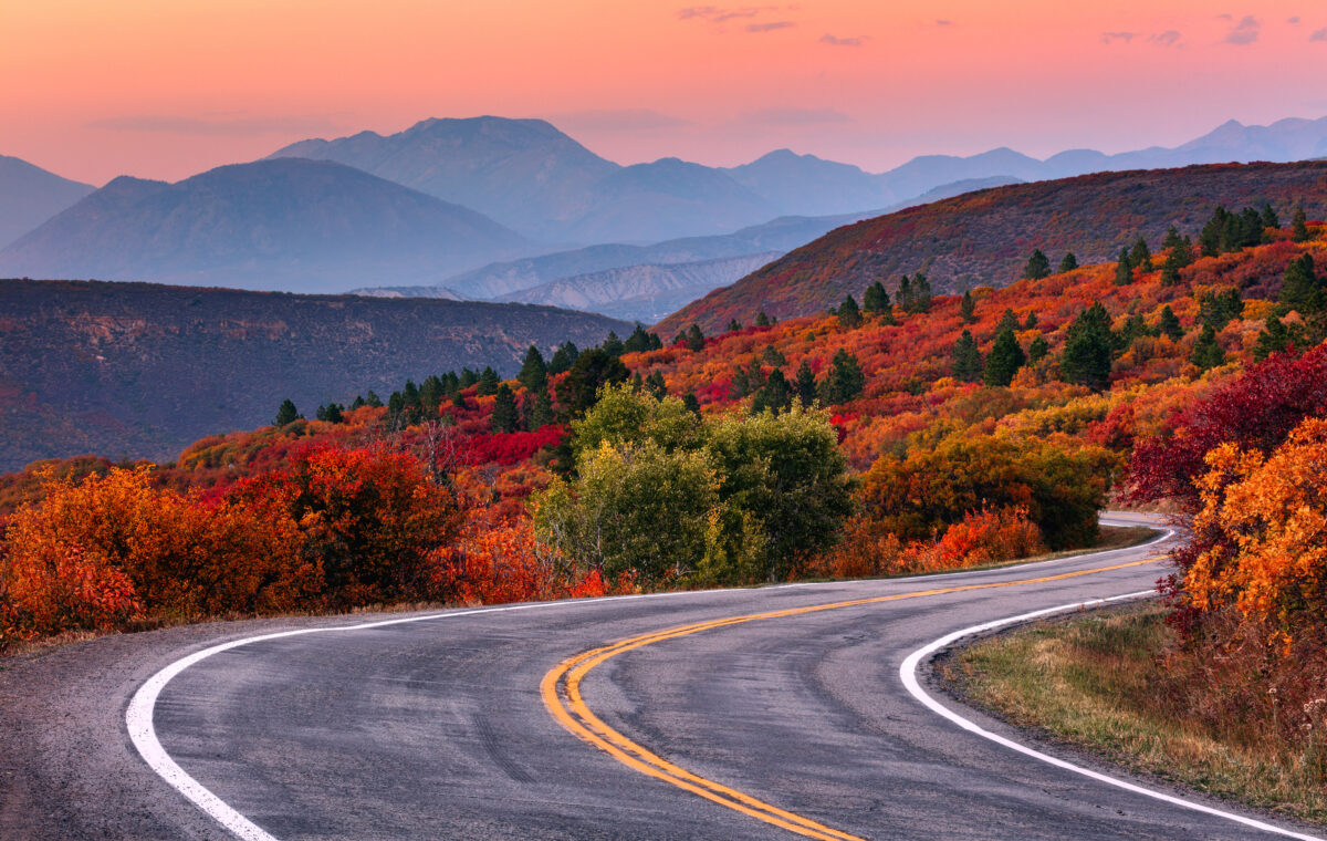
Fall color is notoriously hard to predict. A destination might have a typical peak week, but temperature, rainfall, drought, wind, and elevation can move the show earlier or later this year, sometimes even within the same state.
That's why I use fall foliage maps in two different ways. Prediction maps are useful in August and early September, when I'm deciding where and when to travel. Once a trip is a week or two away, I switch to current-condition reports, state forestry updates, and webcams to see what the leaves are actually doing.
Not every state maintains its own foliage tracker, but many of the country's best leaf-peeping regions do. These are some of the most useful resources I found, grouped by region of the United States.
The SmokyMountains.com Fall Foliage Prediction Map is one of the easiest tools for getting the big picture. Move the date slider to see predicted color progression across the contiguous United States. The site describes it as a planning tool rather than a guarantee, so use it to choose a general travel window, then check a more local source closer to departure.
The National Park Service leaf-peeping page also links to webcams at several national parks. A live camera won't predict next month, but it can be surprisingly useful when deciding whether to make a last-minute drive.
Stowe, Vermont is one of New England's classic leaf-peeping destinations, with fall color spreading across the hills surrounding its historic village.
Connecticut Tourism's Fall Foliage Report links to the state Department of Energy and Environmental Protection's interactive map and explains how color typically moves from northern Connecticut toward the shoreline.
Maine's official foliage site is one of the best state resources. The Maine Forest Service posts weekly reports during the season, dividing the state into foliage zones so you can follow color moving from northern Maine toward the coast. The 2026 reporting season begins Sept. 16.
Massachusetts' Department of Conservation and Recreation has used an interactive map showing foliage conditions at DCR properties around the state. Its seasonal foliage page is worth bookmarking now and checking again once 2026 updates begin.
New Hampshire's Foliage Tracker combines current reports with a statewide map, and Visit NH also posts text-based foliage reports during the season. This is particularly useful in a mountainous state where conditions can change significantly by elevation and region.
I LOVE NY's Fall Foliage Report tracks color across the state's 11 vacation regions. Weekly reports and maps make it especially useful for comparing destinations as far apart as the Adirondacks, Catskills, Finger Lakes, and Hudson Valley.
Pennsylvania's Department of Conservation and Natural Resources maintains a fall foliage map and publishes detailed weekly reports from forestry staff during the season. It's a useful resource for a state where peak color progresses from the northern tier toward southeastern Pennsylvania.
Vermont Tourism's Fall Foliage Report is updated weekly during the season and incorporates observations from state foresters. In addition to color progression, the reports include suggestions for places with particularly good viewing conditions that week.
Get my tips on East Coast fall road trips where the stops are as good as the scenery.
Fall color rolls across the Blue Ridge Mountains in Shenandoah National Park, where elevation means foliage can change at different times along Skyline Drive. like this viewpoint near Sperryville, VA at Buck Hollow Overlook.