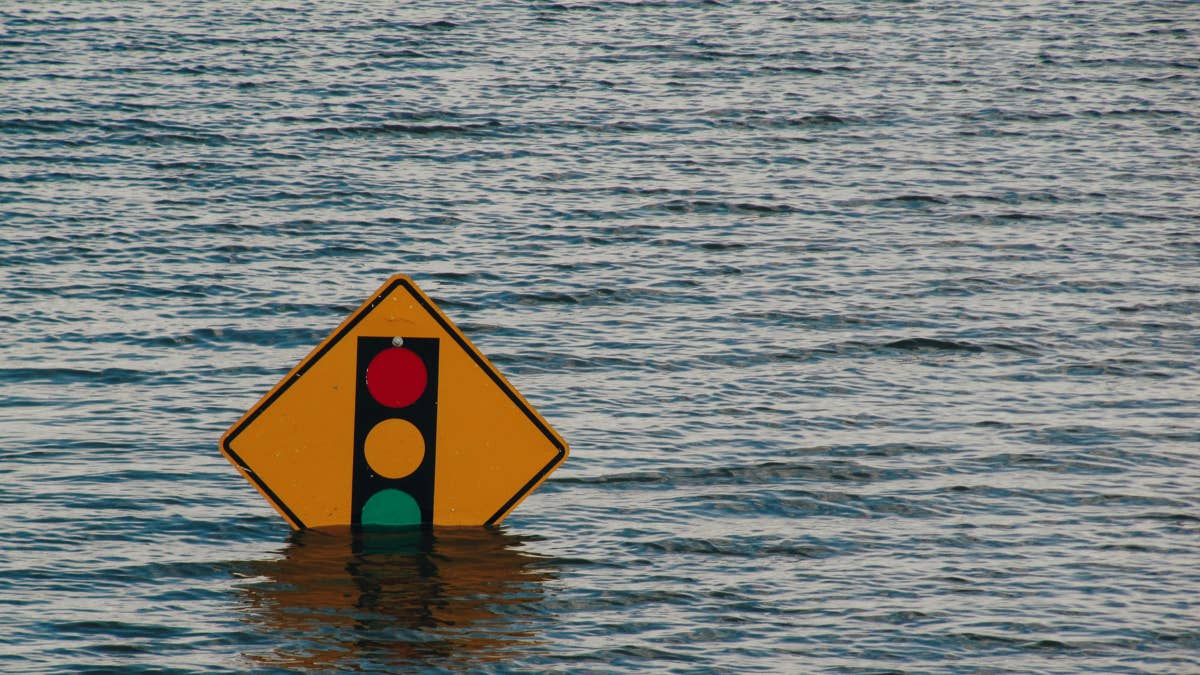
The Mid-Atlantic is under one of the most serious flash flood setups of the summer, with 32 million people from Virginia to New England facing dangerous storms during the Thursday evening commute and into Friday morning. NYC Emergency Management has already activated the city’s Flash Flood Emergency Plan, and the National Weather Service has issued active Flash Flood Warnings for Manhattan and Brooklyn as of 5:40 PM Thursday.
Peak danger window: Thursday evening rush hour (roughly 3 PM in Philadelphia and Baltimore, 5 PM in NYC) through Friday morning, when 2.5 inch per hour rainfall rates combine with damaging winds up to 50 mph across the most heavily traveled corridor in the country.
Rare Moderate Risk Along I-95
The Weather Prediction Center has placed New York City and much of the surrounding region under a Moderate Risk for excessive rainfall, Level 3 of 4. This is a designation the WPC issues on only about 4 percent of days, and it accounts for a significant majority of all flood-related property losses in the contiguous US. Storm total rainfall of 3 to 5 inches is expected, with locally higher amounts.
Flood Watches stretch from northern Virginia through southern Connecticut, covering the entire I-95 corridor between Washington, DC and Boston. The heaviest thunderstorms are forecast to reach Philadelphia and Baltimore around 3 PM, then NYC around 5 PM, before pushing into New England overnight.
Corridors Directly Impacted
- I-95 corridor: DC, Baltimore, Philadelphia, Trenton, NYC, New Haven all in the direct path
- I-64: Richmond to Norfolk facing 3-5 inches with Flash Flood Watch active
- I-81: Shenandoah Valley corridor into central Pennsylvania
- I-78 and I-80: Northeast New Jersey seeing lane closures from street flooding already, including Route 17 southbound in Ho-Ho-Kus
- I-476 (Blue Route) and NJ Turnpike: Both at high risk during the evening rush
Flash flooding is already causing road closures in Fair Lawn and other northern New Jersey communities. JFK Airport has warned travelers of possible flight disruptions.
Tornado Threat Adds to the Danger
The Storm Prediction Center has added a Marginal Risk of severe thunderstorms across northeast NJ, NYC and western Long Island, with the risk zone extending to Baltimore and Philadelphia. Isolated tornadoes are possible, particularly in western New York and eastern Pennsylvania. Damaging wind gusts and large hail remain the primary severe weather concerns.
Why This Storm Is Different
Two factors elevate this event above a typical summer thunderstorm complex. First, atmospheric moisture is running at tropical levels, with precipitable water values of 2 to 2.3 inches across the entire warm sector. Second, storms are forecast to train over the same areas, dumping rain repeatedly on saturated ground.
Mayor Zohran Kwame Mamdani urged New Yorkers to take the forecast seriously: “We may not see the same impacts everywhere, but where the heaviest rain develops, flooding could happen quickly and disrupt travel.”
What Drivers Should Do
Never drive through flooded streets. Two feet of moving water can float most vehicles, and more than half of all flash flood deaths occur in cars. Give yourself extra time, monitor conditions, and be prepared to change plans. For extreme weather driving safety, Autoblog’s guide to best practices for driving in dangerous conditions covers hydroplaning, visibility loss, and emergency response. Check 511NY, 511PA, and 511VA for real-time road closures across the corridor.