New laser scanning finds massive geometric earthworks, suggesting populous pre-colonial society that ‘resembled ancient Greece’
Archaeologists have uncovered hundreds of vast earthworks in the Amazon rainforest, which they say are evidence of a “lost civilisation” that flourished nearly 2,000 years ago, said New Scientist.
Researchers believe the geometrically patterned structures, known as geoglyphs, were built by an advanced pre-colonial society, known as the Aquiry, between 600BC and AD850 – without metal tools or animals. But they are almost impossible to detect under the dense tree canopy of the deep rainforest.
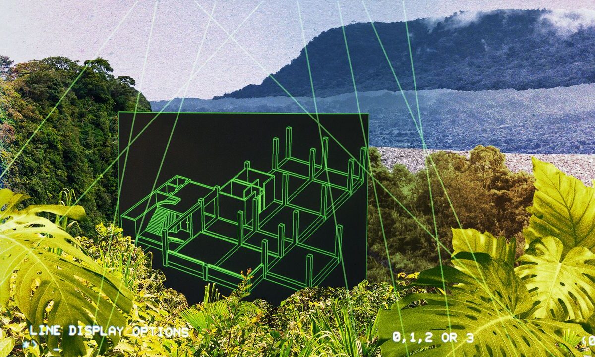
The scientists used cutting-edge airborne laser scanning technology and found hundreds of previously unknown earthworks. They combined the light detection and ranging (LiDAR) data with previous findings to estimate that there might be up to 30,000 structures across the Aquiry territory. The results “strongly suggest” that at its peak, the civilisation may have numbered 1.25 to 3 million, they wrote in a study published in Nature.
Escape your echo chamber. Get the facts behind the news, plus analysis from multiple perspectives.
From our morning news briefing to a weekly Good News Newsletter, get the best of The Week delivered directly to your inbox.
From our morning news briefing to a weekly Good News Newsletter, get the best of The Week delivered directly to your inbox.
Indigenous people have known about some of the earthworks for generations, “regarding some as sacred”, said The Times. Archaeologists first identified several in the western Brazilian state of Acre in 1977, when deforestation began to clear parts of the forest. In 2003, archaeo-anthropologist Martti Pärssinen, from the University of Helsinki, and his team flew overhead and observed ancient straight roadways connecting the sites, in a region that had long been regarded as “virtually untouched”.
“It was a common idea that the Amazonian forest was a virgin wilderness, occupied only by small groups of hunter-gatherers,” said Pärssinen, the study co-author. “These earthworks totally change our understanding of the supposedly pristine Amazon.”
Pärssinen theorised that the earthworks had been built by a complex, pre-Columbian civilisation. In 2021, he “officially introduced the name Aquiry”, said LiveScience, after the Indigenous name for the Acre River, which flows from Peru and Bolivia into Brazil.
In 2024, his team used aerial photographs and satellite imagery to count nearly 1,300 structures across southwestern Amazonia. But “the full scale remained lost beneath the trees”, said ScienceAlert. LiDAR technology “changed everything”.
The team flew over around 1,700 square miles, firing rapid laser pulses at the ground. Some pulses penetrate gaps in the forest canopy and bounce off the ground, reflecting back to the sensors. Computers can use that to create “a three-dimensional map of the ground under most vegetation”, said New Scientist.
The survey revealed 432 geoglyphs – “nearly 400 of which were completely new to science”. The largest covered an area of nearly 50 hectares. “The scale and precision of these constructions is simply astonishing,” said Pärssinen. An average-sized geoglyph would have required about 300 people to build and maintain it.
Pärssinen’s estimate of a population of up to 3 million people is bold, said Michael Heckenberger, from the University of Florida, but “plausible and extremely important, even mind-blowing”.
Over the past two decades, LiDAR has become “one of archaeology’s most exciting modern tools”, said National Geographic. It has been credited with driving an “archaeology revolution”. In the early 2010s, archaeologists were “astonished” when it revealed a lost Maya city.