Account subscription benefits alongside Premium Stories, Editorials,
Opinions and more. Unlock these with Subscription
The View From India
Looking at World Affairs from the Indian perspective.
First Day First Show
News and reviews from the world of cinema and streaming.
Today's Cache
Your download of the top 5 technology stories of the day.
Science For All
The weekly newsletter from science writers takes the jargon out of science and puts the fun in!
Data Point
Decoding the headlines with facts, figures, and numbers
THEdge
At the cutting edge of education and careers
Health Matters
Ramya Kannan writes to you on getting to good health, and staying there
Gender Agenda
Stories from beyond the binary.
The Hindu On Books
Books of the week, reviews, excerpts, new titles and features.
Published – August 09, 2026 01:35 pm IST – Kozhikode
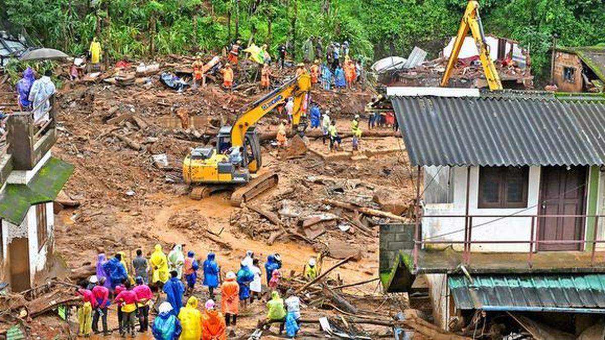
The disaster struck on the night of July 30, 2024, when exceptionally heavy rainfall of nearly 573 mm within 48 hours triggered a massive slope failure in the upper catchment of the Punnapuzha river. File
| Photo Credit: Thulasi Kakkat
The devastating 2024 Wayanad landslides cannot be attributed to extreme rainfall alone but was also likely influenced by a combination of geological, geomorphological and structural factors, according to a new study published in the international peer-reviewed journal Landslides.
The study, published online on the journal’s website, notes that while intense monsoon rain triggered the collapse, underlying geological conditions played a critical role in determining where the landslide began, how it travelled, and why it became one of the most destructive landslides recorded in the Western Ghats. The study was conducted by researchers from the University of Kerala, the Indian Institute of Science Education and Research (IISER) Mohali, and Savitribai Phule Pune University.
The disaster struck on the night of July 30, 2024, when exceptionally heavy rainfall of nearly 573 mm within 48 hours triggered a massive slope failure in the upper catchment of the Punnapuzha river. The disaster rapidly evolved into a high-speed debris flow that travelled nearly 8 km, descending about 768 metres while sweeping through Punchirimattam, Mundakkai and Chooralmala. It carried enormous quantities of rock, soil and vegetation, causing widespread destruction.